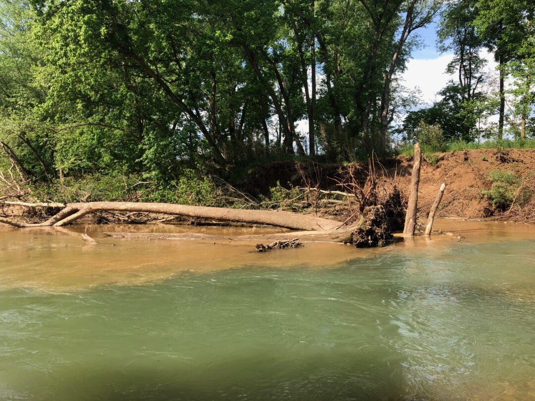
Project: Beaver Lake Watershed Streambank Erosion & Barrier Assessment, Stream Restoration Design, Implementation and Outreach for Watershed Planning
Timeframe: October 1, 2024 – September 30, 2027
Award: $718,175
Partners: Beaver Watershed Alliance (Alliance), Watershed Conservation Resource Center (WCRC), Beaver Water District (BWD), SARP, Arkansas Stream Heritage Partnership (ASHP), Arkansas Game and Fish Commission (AGFC), University of Central AR (UCA)
Statement of Need:
Beaver Lake is the drinking water supply for 1 in 5 Arkansans, or approximately 550,000 residents. Soils in the watershed are highly erosive. In addition, in-stream channel erosion has been identified as one of the main contributors to sediment and nutrient loadings to Beaver Lake watershed.
Watershed analysis shows significant data gaps in streambank erosion data for Brush Creek, Richland Creek, East Fork, and War Eagle Creek, which is needed to better identify areas experiencing accelerated erosion. Factors such as land use changes, vegetation loss, and increased stormwater runoff have continued to contribute to destabilizing streambanks. Quantifying the extent of erosion is necessary to prioritize areas for mitigation efforts. In addition, an identified streambank reach on the East Fork-White River is estimated (using aerial imagery) to contribute an average of 1,500 tons/yr of sediment. A design is needed to develop a restoration plan and seek funding resources to implement it.
The need to remove outdated barriers, such as dams and stream crossings, is a common issue throughout the United States (Grant 2001; Stanely and Doyle 2003). Aging barriers and inadequately designed road crossings exert detrimental effects on streams in numerous ways. These physical barriers negatively impact water quality by impounding water and disrupting natural river connectivity, leading to alterations in sediment dynamics, local geomorphology, and flow regimes (Bednarek 2001).
The Beaver Reservoir is one of ten priority watersheds in the Arkansas NPS Management Program. Several stream segments within the watershed are listed on the Arkansas Dept. of Energy and Environment’s 2018 303(d) list and do not support their designated uses of aquatic life due to excessive turbidity and sediment (ADEQ, 2018). The Beaver Lake watershed is within a designated nutrient surplus area and is a priority watershed for Source Water Protection in the state.
Project Summary:
Stream assessments will focus on Brush Creek, Richland Creek, East Fork – White River and War Eagle Creek and the stream barrier assessment will include all major tributaries.
The WCRC will assess streambank erosion, and identify and prioritize reaches of river in need of restoration considering sediment and nutrient loadings and natural resource concerns. Field verification, monitoring, and BANCS modeling will establish average annual loadings for watershed planning and river reach prioritization.
The Alliance will identify and assess stream barriers within the Beaver Lake watershed through aerial photography review, ground-truthing, and site evaluation. The Alliance will work together with UCA and AGFC to identify aquatic barriers in the War Eagle Creek watershed. Inventory data will be entered into SARPS’s national database and prioritized based on mileage opened and the number of SGCN affected. A visual assessment associated with stream erosion around the barriers will be conducted and added to the prioritization methodology. The Alliance will work with a landowner or county to remove at least one identified barrier. WCRC will develop a stream restoration plan for the East Fork-White River using natural channel design principles for a reach contributing an average of 1,500 tons/yr of sediment.
The Alliance and WCRC will work together to conduct technology transfer including at least four landowner watershed meetings, and two stream restoration workshops and distribute mailers throughout the watershed informing on the project and workshops.
Expected Outcomes:
• Assessment of major tributaries within the Beaver Lake watershed will be completed. A) Inventory of river reaches needing restoration is developed with suggested priorities, B) sediment and nutrient loadings and restoration costs are known and used to seek funding, and C) watershed-scale sediment/nutrient loadings from streambank erosion will be available.
• An inventory of stream barriers will be developed, priority sites will be established, at least one barrier will be removed.
• Tools developed for decision-making on stream erosion and stream barrier restoration.
• Two funding proposals will be developed: stream restoration and stream barrier removal.
• 10,000+ stakeholders within the watershed will be informed on stream analysis and results.
• At least 100 landowners participate in outreach meetings, provide input on watershed planning and gain understanding of streambank erosion and stream barrier impacts.


Recent Comments