As Northwest Arkansas steadily makes its way towards a million residents (estimated to happen by 2045), it’s important to understand the impacts of the growth on the area’s natural environment and the commodities it provides such as clean drinking water, stormwater filtration and storage, recreation opportunities, wildlife & pollinator habitat, and so much more. Increased hard surfaces like roads, driveways, and parking lots, which coincide with increased urban areas, can place pressure on natural areas by increasing stormwater runoff and flood risks, pollutants such as phosphorus, nitrogen, and sediment, reducing resources like forest, riparian and pasture area, elevating temperatures, and decreasing biodiversity. The Alliance is turning towards innovative solutions like nature-based design to help achieve our mission to “proactively protect, enhance and sustain water quality in Beaver Lake and the integrity of its watershed.” Nature-based design is “sustainable planning, design, environmental management, and engineering practices that weave natural features or processes into the built environment to promote adaptation and resilience” (FEMA.gov).
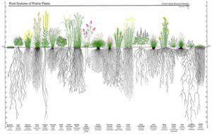
Above: Baker Prairie in Arkansas (Photo Courtesy of The Nature Conservancy). Diagram of root systems of native plants compared to lawn.
One important natural area system in the Ozarks region is the once prevalent prairie that used to make up a huge portion of the Arkansas landscape. Arkansas once had more than 700,000 acres of tallgrass prairie, but less than 0.5% remains today. Northwest Arkansas has a few remaining prairie areas, including Baker Prairie and Searles Prairie Natural Area. Prairies are made up of diverse native plants with deep root systems, perfect for holding soil in place and act as sponges that soak up water which can decrease the severity of flooding.
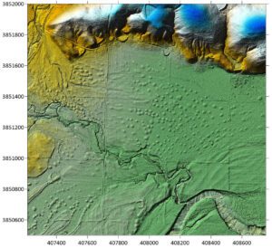
A natural feature found in many prairies are upland prairie mounds and depressional areas. Between the mounds water seasonally ponded to form wetlands. Such prairie mounds and wet prairie depressions were common in the area prior to the western expansion by settlers in the early to mid-1800s. These topographical variations help support a diversity of native vegetation along with amphibian and reptile species. Mounds and depressions were natural stormwater treatments that took on floods and river surges.
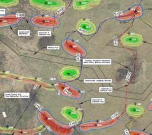
Above: LIDAR imagery of prairie mounds (https://archeology.uark.edu/features/prairie-mounds/). Construction documents of prairie mounts and depressions for the Fayetteville project site. (WCRC)
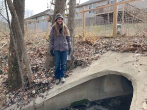
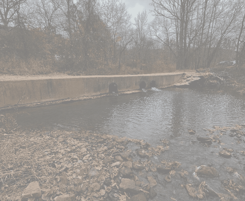
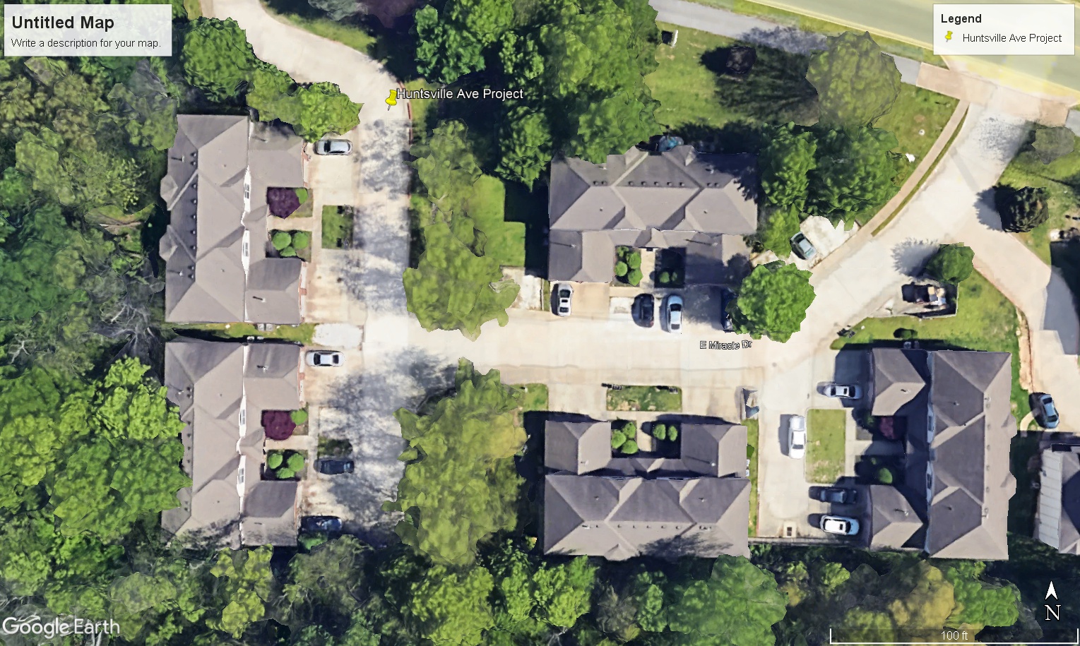
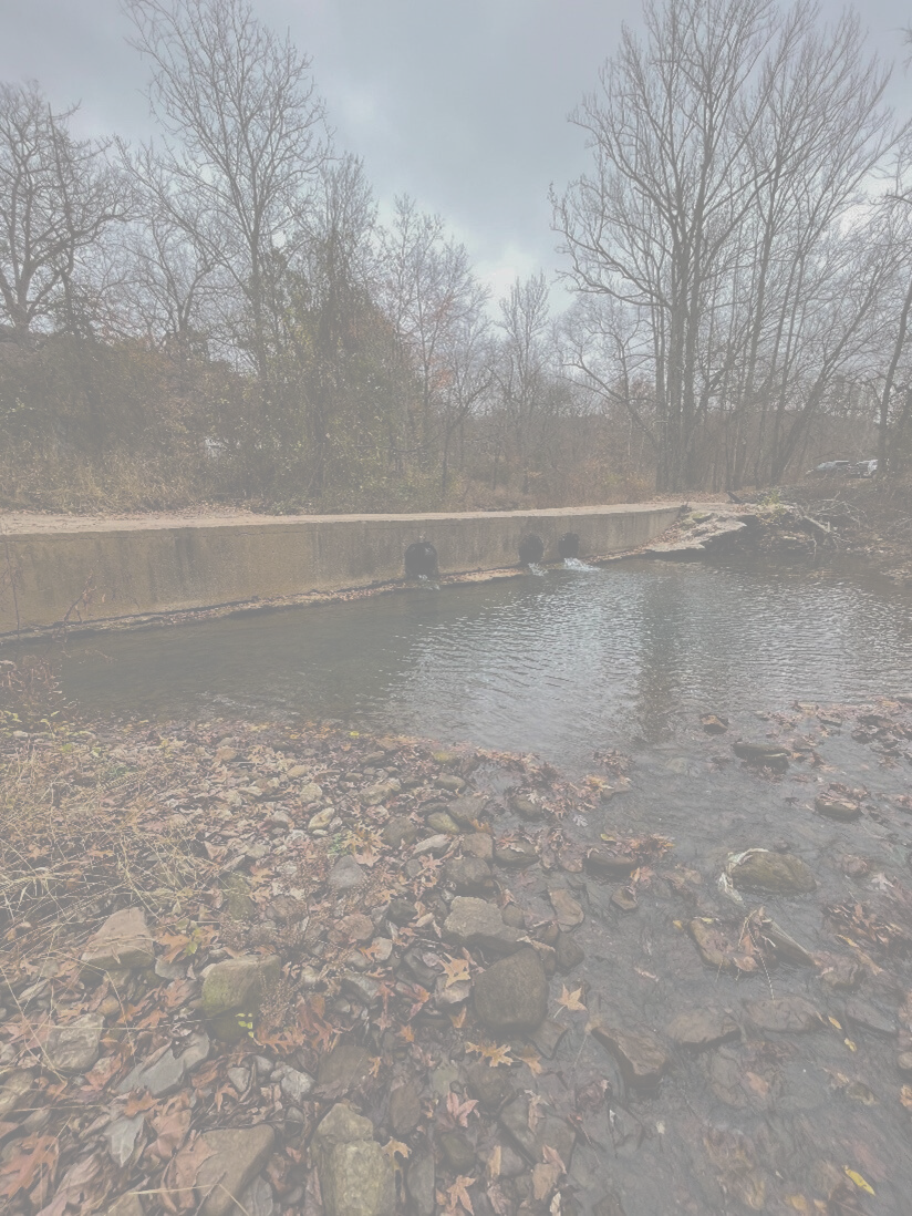
Recently, a nature-based design and installation was commissioned by the Alliance within a floodplain area between the West Fork – White River and a Fayetteville suburban neighborhood to address and treat stormwater. A 60-acre parcel of land owned by a private conservation-minded landowner sits between the suburban development and the river. It is zoned for agriculture, subject to the city floodplain requirements, and is under a conservation easement. Stormwater from the existing neighborhood exits onto the site from several large stormwater outfalls. Before the installation of this project, vegetation consisted of non-native, cool-season grasses mowed annually for hay. Interestingly, according to US General Land Office (GLO) surveys conducted in Washington County from 1831-1838, maps record the property site as “lowland prairie”- the powerhouse landscapes quickly disappearing as mentioned above.
Above: Stormwater outfall (Photo Credit: Steve Patterson)
The Watershed Conservation Resource Center (WCRC) and Bio by Design were contracted to develop a design to restore a portion of this 60-acre site to rejuvenate the riparian and floodplain. The design team used history, watershed data, nature-based process methods, and modeling to design the site to restore prairie mounds and depressions and mitigate the stormwater runoff from the neighborhood. Because there was a 6” lift in soil amendments, the team worked with the City of Fayetteville and was approved for a floodplain variance. The designs also included the removal of invasive plants and establishment of native species.
Upon approval by the City and landowner, WCRC installed the nature-based features last fall (2023) and planted them in the spring of 2024. The adjacent neighborhood residents were also a part of the process from day one, with educational community meetings and follow-ups on the project provided.
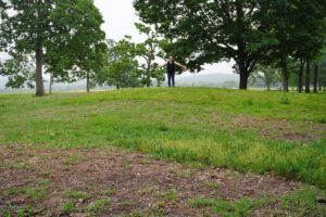
Above: ARAS archeologist Sarah Shepard standing on top of a prairie mound in Fayetteville, Arkansas. (https://archeology.uark.edu/features/prairie-mounds/)
The Alliance is very excited to see the completion and success of this project. This project demonstrates the possibilities for creative, ecological, nature-based stormwater management that will be useful for other existing and future developments adjacent to riparian areas and floodplains in the watershed. The effectiveness of this nature-based project is expected to be highly beneficial for water quality. Estimated reductions in sediment and nutrients are an expected outcome and outlined in the project’s final report, but to call out, estimated Total Suspended Solids reductions are 88%, estimated Total Nitrogen reductions are 41%, and estimated Total Phosphorous reductions are 76%.
Similar work is already underway across Northwest Arkansas. For example, the recent acquisition of the Deadhorse Mountain Floodplain Conservation Area in south Fayetteville, a 223-acre essential floodplain area, will be perpetually protected through a partnership between Beaver Water District, Watershed Conservation Resource Center, Northwest Arkansas Land Trust, and the City of Fayetteville. The joint ownership and protection of the Deadhorse Mt. property, alongside the West Fork floodplain prairie project area, and hopefully many other similar sites in the future, will be essential to help our cities handle stormwater as we grow and help maintain high-quality water resources in Northwest Arkansas.
We would like to thank project partners, supporters, and funders of this nature-based design project including The City of Fayetteville, Beaver Water District, Walton Family Foundation, Ozark Land Trust, Bio x Design, Watershed Conservation Resource Center, Josh Brown, and neighboring residents. If you own or manage property in the Beaver Lake watershed and are interested in implementing similar land management practices like this one, contact the Alliance for a free site visit and consultation by emailing info@beaverwatershedalliance.org.
To view the full concept plan report prepared by Bio x Design and Watershed Conservation Resource Center for this project, visit the link below.

